
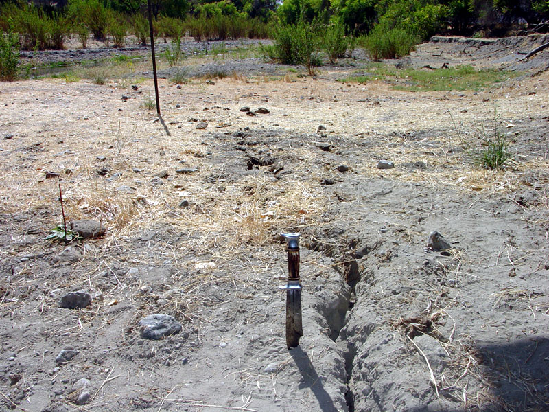
PARKFIELD, Monterey County — October 30, 2026. The tiny community of Parkfield continues to play an outsized role in earthquake science: scientists have monitored the San Andreas Fault here since the Parkfield Earthquake Experiment began in 1985. USGS instruments recorded the magnitude-6 earthquake of September 28, 2004, giving researchers unusually detailed data on how fault movement and ground shaking develop.
Why Parkfield?
The USGS describes six similar moderate earthquakes in the area in 1857, 1881, 1901, 1922, 1934 and 1966, followed by the 2004 shock. Their pattern prompted an early hypothesis that a Parkfield earthquake might occur roughly every 22 years. But the 1966-to-2004 gap was 38 years, illustrating that averages are not a dependable prediction schedule. The 22nd anniversary of the 2004 event passed in September 2026 without demonstrating that a new large quake is due on a specific day.
What is measured now?
The USGS has tracked tiny ground shifts through GPS stations and deformation instruments, including creepmeters, strainmeters and dilatometers. Its Parkfield page notes that an older two-color laser distance-measurement system was retired after its final measurements in 2005 and that GPS became the method for continuing deformation monitoring. Residents should not mistake plots of small ground motion for an advance earthquake warning.
Can anyone predict the next earthquake?
No reliable date or magnitude prediction is available. Scientists use this data to study how an earthquake rupture begins and how strain accumulates, rather than to promise a precise forecast. A map of instruments is not proof that every sensor has sent recent observations; the USGS station list displays its own data freshness.
Where to check a real event
Use the USGS Latest Earthquakes map for the date, time, depth and magnitude of recorded earthquakes. The public can report felt shaking through Did You Feel It? after an event. Drop, Cover and Hold On remains a standard protective action in shaking; motorists and residents should get current official guidance in an actual emergency.
Primary sources: USGS — Parkfield Earthquake Experiment; USGS — current Parkfield deformation-monitoring explanation; USGS — instrumentation and deformation plots.
Editorial note: This is a locally focused scientific explainer, not a report that a damaging quake occurred today or that researchers have predicted one in 2026.
Support Parkfield News
Choose how to support Parkfield News:
Credit / Debit Card via StripeChoose your contribution amount on the secure California58 Stripe checkout. One-time support for independent local journalism.
Continue with PayPal Continue with ZelleZelle payments go to Vitaly Ataev Troshin. Please verify the recipient in your bank before sending. Availability depends on your bank.
Optional reader support. When possible, add “Parkfield News” to the payment note. Contributions are not advertised as tax-deductible. Support does not influence editorial decisions.More from Parkfield News
- Parkfield Shooting Investigation: Deputies Arrested Suspect After Shots Fired Toward Occupied Car →
- Parkfield Café Plans December Closure; Winter Visitors Should Confirm November Hours Before the Drive →
- Parkfield Hosted Its 26th Bluegrass Festival May 7–10, With Camping and Family Music Programs →
- Parkfield Cemetery Road Remained on Monterey County's 2026 Closure List: Check Access Before Driving →
- Parkfield Earthquake Monitoring Explained: USGS Tracks the San Andreas Fault With GPS and Seismic Instruments →
COMMUNITY
Comments
Join the California58 conversation. You must be signed in to comment.
Create a free California58 account or sign in with an available social provider.